Case: 22 April 2022
Summary
Deepening stratocumulus cloud deck that erodes in advance of an approaching front
Description
Prefrontal closed stratocumulus event that featured periods of open-cell conditions to bookend this day. Frequent subcloud drizzle was observed during the stratocumulus conditions, with the most enhanced drizzle times during the middle portions of this event. The low-level flow was modest (20 kts) and northerly, but weakened and shifted westerly as the synoptic wave approached. Additional upper-level clouds were visible on SIVIRI and were associated with the approaching synoptic wave; however, these high clouds remained mostly south of the Azores. Inversion height at approximately 1.7 km AGL.
Available assets
Standard ARM profiling assets, SEVIRI, RLPROF-FEX, additional ENA GNSS ground station radiosonde launch (03 UTC)
Critical period: 03:00–12:00
Precipitating stratocumulus cloud deck
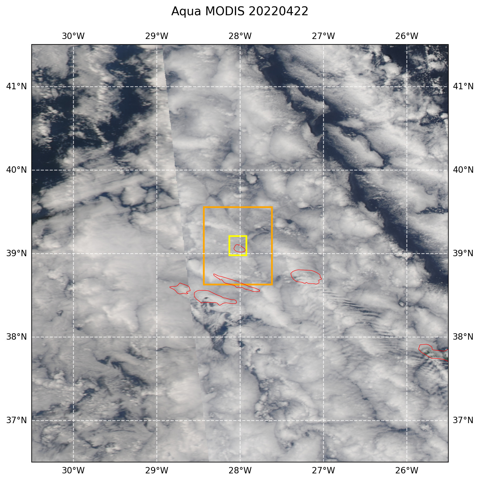
Figure 21 True-color afternoon MODIS Aqua image with overlaid LES domains. The image area corresponds to the 5° region sampled for the larger forcing option. The yellow and orange boxes correspond to the sizes of the 25 km and 102 km LES domains, respectively.